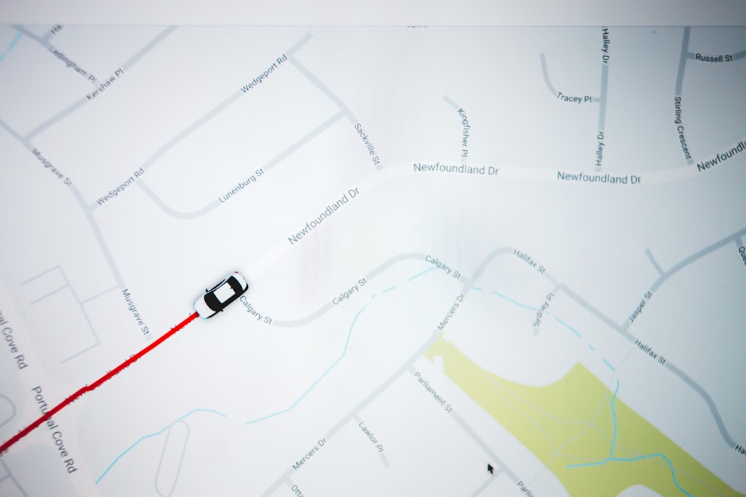
You’re standing at a crossroads, not just in a physical sense, but in a temporal one. The year is somewhere in the 1980s, and your internal compass, the one you’ve relied on for millennia, feels a little shaky. The familiar hum of the satellite signal, the reassuring blue dot dancing on your screen, is conspicuously absent. You are, for all intents and purposes, lost without GPS. The world around you, a vibrant tapestry of analog delights and burgeoning digital whispers, is your only guide.
Before the omnipresent glow of digital mapping saturated your senses, you navigated the world with a more grounded approach. This era, the 1980s, was a time when information about your surroundings was less a stream and more a curated collection. You learned to engage with your environment in ways that are now largely superseded by algorithm-driven directions.
The Art of the Paper Map
Your primary tool was the paper map, a tangible artifact that demanded your attention. These weren’t just flat representations; they were complex puzzles waiting to be deciphered.
Understanding Topography and Contour Lines
You weren’t just looking for roads; you were learning to read the land. Contour lines, those seemingly arcane squiggles, told a story of elevation. You could visualize hills, valleys, and even the promise of a challenging ascent or a gentle descent, all without a single digital elevation model. This required a different kind of spatial reasoning, an ability to translate two-dimensional symbols into three-dimensional realities.
The Indispensable Road Atlas
For longer journeys, the road atlas was your most trusted companion. Flipping through its pages, you’d trace your intended route with your finger, noting junction numbers, town names, and the presence of lakes or rivers that served as natural landmarks. The sheer density of information on a single page could be overwhelming at first, but with practice, it became a language you understood.
Folding and Refolding: The Ritual of Map Management
Remember the careful, almost ritualistic, act of folding and refolding a large paper map? It was a process that required patience and precision. A poorly folded map could obscure crucial details or become an unwieldy nuisance. This tactile interaction fostered a sense of ownership over your navigational journey, a stark contrast to the passive consumption of directions from a disembodied voice.
Local Knowledge: The Human GPS
Beyond the printed word and lines, your most valuable navigation asset was often the people around you. In the 1980s, local knowledge was currency, and you weren’t afraid to spend it.
Asking for Directions: A Social Exchange
Stopping at a gas station, a diner, or even just a friendly-looking stranger on the street to ask for directions was not an inconvenience, but a social interaction. You learned to articulate your destination clearly, listen attentively to the instructions, and often, to piece together advice from multiple sources. This fostered a sense of community and interdependence that feels somewhat diminished in our hyper-connected world.
The Power of Familiarity and Routine
For everyday travel, especially within your own city or region, familiarity was key. You developed an internal map of your surroundings, etched by repeated journeys, familiar street names, and easily recognizable landmarks. This intuitive sense of direction, honed through daily experience, was incredibly efficient and often bypassed the need for external aids altogether.
Storytelling and Anecdotal Navigation
Sometimes, directions weren’t just about “turn left at Elm Street.” They were embedded in anecdotes: “Take the road past the old Miller farm, the one with the big oak tree, and then it’s just a mile or so down past the creek.” These pieces of personal history, passed down from one traveler to another, added a narrative layer to your journey, making the landscape more memorable and meaningful.
Before the advent of GPS technology in the 1990s, navigating the world in the 1980s often relied on traditional methods such as paper maps and verbal directions, which could easily lead to confusion and getting lost. For a fascinating look into how people managed their way through unfamiliar territories without modern technology, you can read more about it in this related article: How People Got Lost Before GPS. This article explores the challenges faced by travelers and the creative solutions they employed to find their way.
The Analog Toolkit: Instruments of Navigation
While paper maps and local wisdom were paramount, you also had a few trusty analog tools at your disposal, tools that required a different kind of understanding and skill to utilize.
The Compass: Your Steadfast Directional Anchor
The compass, a seemingly simple device, was a powerful tool for understanding your orientation in the world. It wasn’t about plotting a precise route, but about maintaining a consistent direction.
Understanding Magnetic North
You learned that the needle pointed to magnetic north, a concept that required some mental adjustment when attempting to align it with true north for more precise navigation. This understanding of the Earth’s magnetic field was a fundamental aspect of this era’s navigators.
Triangulation and Bearings: Advanced Compass Techniques
For those venturing into more remote areas, techniques like triangulation, using landmarks and compass bearings, allowed for a more accurate determination of your position. This was a skill that demanded concentration and a deep understanding of geometric principles.
Relying on the Sun and Stars: Natural Navigation
In the absence of a compass, or as a supplement to it, you learned to read the sky. The position of the sun during the day and the arrangement of stars at night provided fundamental directional cues. This connection to natural celestial patterns offered a profound sense of continuity with ancient navigation traditions.
The Odometer and Speedometer: Measuring Progress
Your car’s dashboard offered two essential metrics that helped you track your progress: the odometer and the speedometer.
The Odometer: Tracking Distance Traveled
The odometer, a simple counter of miles or kilometers, was your primary tool for measuring how far you had gone. Combined with a map, it allowed you to estimate your arrival time and ensure you were on the right track. It forced you to be mindful of distance and to develop a feel for how long certain stretches of road should take.
The Speedometer: Maintaining a Consistent Pace
The speedometer, while primarily for legal compliance and fuel efficiency, also played a role in navigation. Knowing your average speed over a particular stretch of road allowed you to refine your time estimates, making your plans more realistic. A consistent speed meant a more predictable journey.
The Trip Computer: A Glimpse of the Digital Future
While not as ubiquitous as today, some vehicles in the late 1980s began to feature rudimentary trip computers. These devices offered a glimpse into the digital age, displaying information like average speed, fuel consumption, and elapsed time.
Basic Trip Data: Early Forms of Digital Assistance
These early trip computers provided a limited but useful set of data. You could reset them for each leg of your journey, allowing you to track progress and fuel efficiency with a bit more precision than relying solely on manual calculations.
Fuel Management: A Precursor to Optimized Routing
Understanding your fuel consumption was crucial, especially on longer trips. Trip computers aided in this by providing real-time data, allowing for better planning of fuel stops and preventing the anxiety of running on empty. This was a nascent form of optimizing your travel.
The Mental Map: Cultivating Spatial Awareness
Without the constant guidance of a digital prompt, your own mind became a powerful navigational tool. You were not passively receiving directions but actively constructing and maintaining your own internal representation of the world.
Developing Observational Skills
Navigating in the 1980s demanded heightened observational skills. You learned to notice subtle changes in the landscape, the architectural styles of different towns, the types of trees that lined the roads. These details became mental breadcrumbs, helping you orient yourself.
Recognizing Landmarks: Visual Anchors
Familiar landmarks – a distinctive building, a unique rock formation, an unusually shaped tree – became your visual anchors. You mentally cataloged these points of reference, using them to confirm your location and to gauge your progress.
The Significance of Road Signage
Road signs, while sometimes scarce or faded, were crucial. You learned to interpret their meaning quickly: highway numbers, exit signs, directional arrows, and town limits. The absence of a GPS meant you paid closer attention to these physical cues.
Internalizing Routes: The Power of Repetition
The more you traveled a particular route, the more ingrained it became in your memory. This process of internalization was a gradual accumulation of experiences, creating a mental highway that you could navigate with increasing ease.
Building Mental Models of Intersections
You developed an intuitive understanding of complex intersections, mentally mapping out the different turns and lanes. This wasn’t a static image but a dynamic model that you could mentally navigate.
Connecting Routes: A Network of Familiar Paths
As you traveled more, you began to connect different routes, building a mental network of familiar paths. This allowed you to find alternative ways to reach your destination or to explore new areas with more confidence.
The Importance of Context and Environmental Cues
You learned to read the broader context of your surroundings. The direction of the sun, the prevailing wind, the type of vegetation – all provided subtle clues about your location.
Understanding Seasonal Changes
In some regions, seasonal changes could significantly alter the appearance of the landscape. You learned to recognize these changes and factor them into your navigational thinking.
The Role of Local Weather Patterns
Local weather patterns, from fog to heavy rain, could pose significant navigational challenges. You learned to anticipate these challenges and to adjust your plans accordingly, relying on your understanding of the local environment.
The Journey as Experience: Slower, More Engaged Travel

Navigating without GPS in the 1980s wasn’t just about reaching your destination; it was about the journey itself. The slower pace and the reliance on your own faculties fostered a more engaged and often richer travel experience.
Embracing the Detour and the Unexpected Discovery
When you took a wrong turn, it wasn’t a digital crisis; it was often an opportunity. You might stumble upon a charming small town you’d never have known existed, a scenic viewpoint off the beaten path, or a unique local attraction.
Spontaneity and Serendipity
The lack of pre-programmed routes allowed for a greater degree of spontaneity. You could decide to take a scenic byway on a whim or to stop and explore a place that caught your eye. These unplanned moments often led to the most memorable experiences.
The Value of Getting Lost (Within Reason)
While not intentional, the occasional “getting lost” could be a valuable learning experience. It forced you to be resourceful, to rely on your observational skills, and ultimately, to deepen your understanding of the area.
The Social Aspect of Road Trips
Road trips in the 1980s were often a communal affair. With fewer distractions from personal devices, conversations flowed more freely, and shared experiences of navigating became part of the bonding process.
Shared Responsibilities and Teamwork
If you were traveling with others, navigating often became a shared responsibility. One person might pore over the map while another kept an eye on the road signs, fostering a sense of teamwork.
The Joy of Discovery Together
Discovering a new place or figuring out a tricky junction together added a layer of shared accomplishment to the journey. These shared navigational challenges strengthened bonds and created lasting memories.
Developing Patience and Resilience
The inherent challenges of navigating without GPS in the 1980s cultivated a valuable set of personal qualities. You learned to be patient, to persevere when faced with obstacles, and to develop a quiet resilience.
The Absence of Instant Gratification
The lack of instant directions meant you had to wait, to observe, and to plan. This fostered a sense of patience that contrasts with the immediate gratification often associated with modern technology.
Overcoming Challenges: A Sense of Accomplishment
Successfully navigating a complex route or finding your way after a wrong turn brought a genuine sense of accomplishment, a feeling of mastery over your environment that is often diminished when a device does the work for you.
Before the advent of GPS technology, getting lost was a common experience for many travelers in the 1980s. People relied heavily on paper maps, road signs, and sometimes even verbal directions from locals, which could lead to confusion and misadventures. The reliance on these traditional navigation methods often resulted in unexpected detours and the thrill of exploration, albeit sometimes frustrating. For a deeper look into how people navigated without modern technology, you can read this insightful article on the challenges of navigation in the past at this link.
The Lingering Lessons: What the 1980s Taught You About Navigation
| Methods of Getting Lost | Frequency |
|---|---|
| Using paper maps with limited details | High |
| Reliance on verbal directions | Moderate |
| Difficulty in finding landmarks | High |
| Confusion at complex intersections | High |
| Getting turned around in unfamiliar areas | High |
Even as you now rely on the seemingly effortless convenience of GPS, the lessons learned from navigating the 1980s remain. They are lessons about engagement, resourcefulness, and a deeper appreciation for the world around you.
The Importance of Situational Awareness
The most enduring lesson is the value of situational awareness. The 1980s forced you to be constantly aware of your surroundings, to process information from multiple sources, and to make informed decisions based on that input.
Beyond the Screen: Engaging with the Physical World
This experience taught you that true navigation isn’t just about following a digital line; it’s about engaging with the physical world, understanding its cues, and developing your own internal map.
The Power of Human Ingenuity
It highlighted the power of human ingenuity and problem-solving. When faced with a navigational challenge, you weren’t helpless; you had the tools and the mental capacity to overcome it.
A Deeper Connection to Place
Navigating without GPS fostered a deeper connection to the places you visited. You weren’t just passing through; you were actively interpreting the landscape, memorizing its features, and creating a more personal relationship with it.
Creating a Mental Atlas
You built a personal “mental atlas,” a rich tapestry of memories and spatial knowledge that continues to inform your understanding of the world, even in the age of digital maps.
The Narrative of a Journey
The act of navigating the 1980s imbued your journeys with a narrative. Every wrong turn, every successful arrival, every piece of advice received became part of the story of your travels, making them more than just a series of miles covered.
The Value of Disconnection
In a way, the 1980s offered a form of “disconnection” that we now seek out. Without the constant digital tether, you were more present in the moment, more attuned to your immediate environment, and more connected to the people you were with.
Mindful Travel
This era encouraged mindful travel, where the journey itself was as important as the destination. You were forced to slow down, to observe, and to appreciate the process of getting from one place to another.
An Appreciation for Analog Skills
Ultimately, navigating the 1980s without GPS was an exercise in developing and relying on a suite of analog skills. These skills, once commonplace, are now vestiges of a different era, but their value in fostering independence, resourcefulness, and a profound connection to the world remains undeniable. You learned that even when the blue dot disappears, you possess the inherent ability to find your way.
FAQs
1. How did people navigate before GPS in the 1980s?
Before GPS, people used traditional methods of navigation such as maps, compasses, and landmarks to find their way. They relied on paper maps and atlases to plan their routes and used compasses to determine direction.
2. What were the limitations of navigation before GPS in the 1980s?
Before GPS, navigation relied heavily on the accuracy of maps and the skill of the navigator. Maps could be outdated or inaccurate, and navigating in unfamiliar areas could be challenging without clear landmarks or reliable road signs.
3. How did people handle getting lost before GPS in the 1980s?
When people got lost before GPS, they often had to rely on asking for directions from locals or finding a landmark to orient themselves. In some cases, they had to backtrack to a known location or find a public phone to call for assistance.
4. Were there any technological aids for navigation before GPS in the 1980s?
Before GPS, some vehicles were equipped with early navigation systems such as LORAN (Long Range Navigation) or inertial navigation systems. However, these systems were not as widely available or user-friendly as GPS is today.
5. How did the introduction of GPS change navigation in the 1980s?
The introduction of GPS in the 1980s revolutionized navigation by providing accurate and real-time positioning information to users. It made navigation more accessible, reliable, and convenient, leading to a significant shift in how people traveled and explored new places.